Recommended Tours
Tokyo Essentials Tour: A Sensory Journey
Recommended Tours
One Day, Infinite Tokyo Custom Private Tour
Learn how Tokyo’s scale, station layouts, and block structure shape walking time, and how travelers can better estimate what’s realistically walkable.
Judge Tokyo distances more accurately and plan days that feel balanced, not rushed.
Tokyo's map doesn't tell the full story. What looks like a 15-minute walk often takes 30 minutes in reality.
Tokyo's Walking Reality vs the Map
Google Maps can't account for Tokyo's hidden friction.
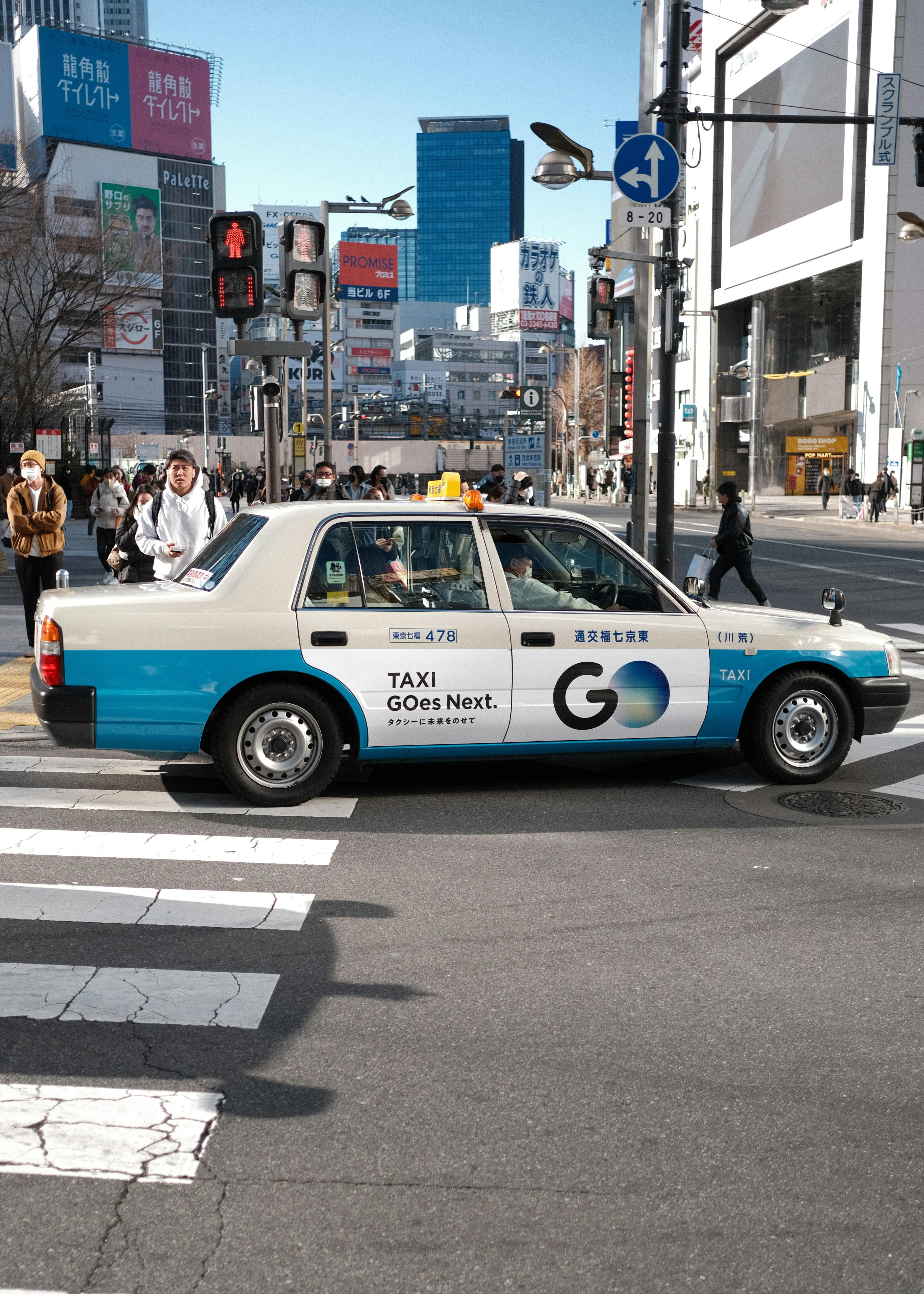
Take Shibuya to Harajuku: the map shows 15 minutes for a 1km walk. The reality: 25-30 minutes. Five minutes to navigate Shibuya Station's exits. Three minutes waiting to cross Shibuya Crossing during peak hours, moving slower with thousands of others. Crowds on Omotesando slow your pace below normal walking speed.
Station-internal walking adds distance you won't see on a map:
-
Shinjuku Station's longest internal walks take 10 minutes
-
Tokyo Station's Marunouchi to Yaesu side: 8 minutes across multiple levels
-
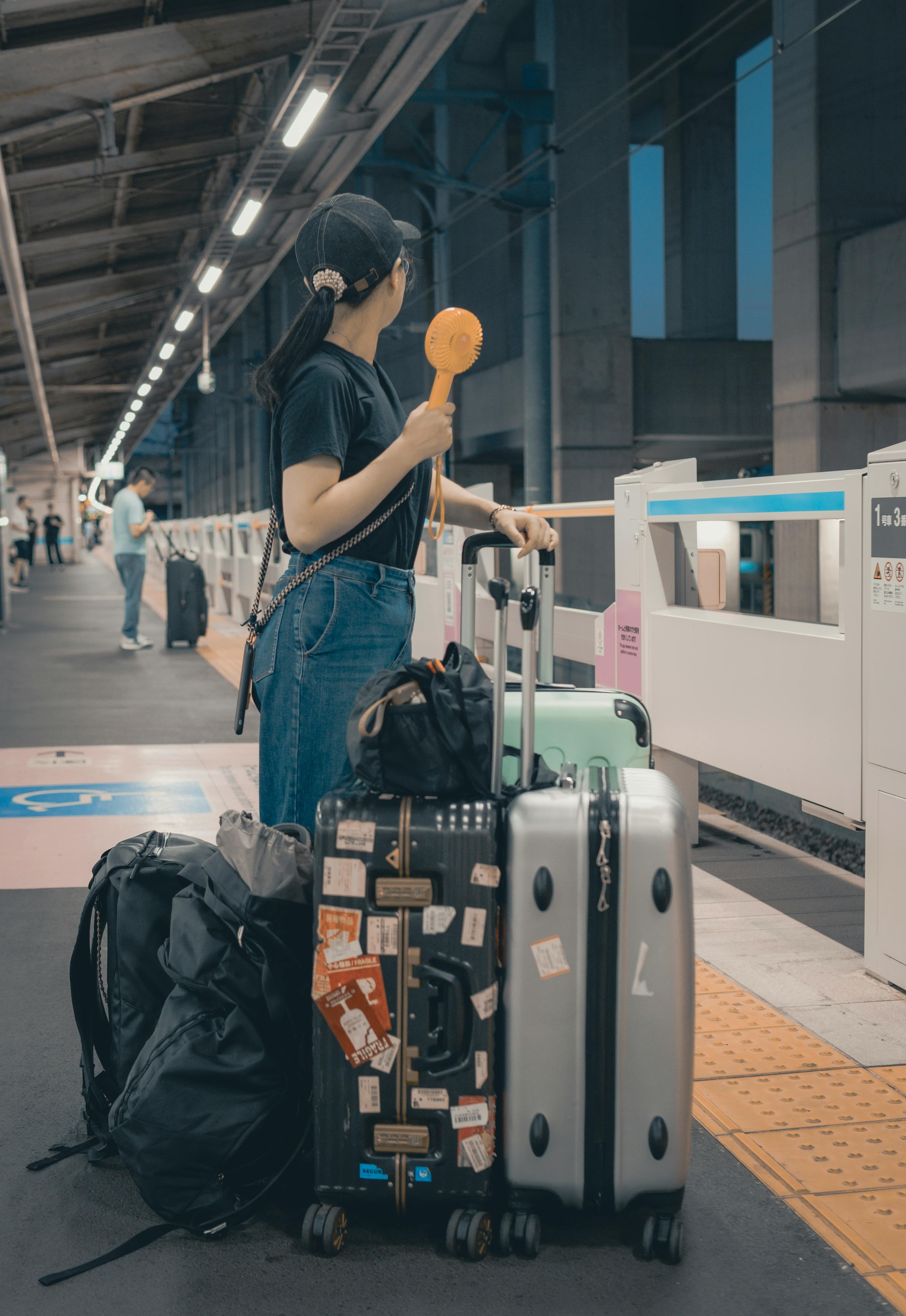
Wrong exit choice at Shibuya adds 5-10 minutes to reach your destination
Summer heat reduces walking pace 20-30% for visitors not acclimated to 28-35°C temperatures and 76-82% humidity.
Rush hour (7:30-9:30am, 5:30-7:30pm) doubles crossing times at major intersections. Station passages become slow-moving queues.
When Walking Makes Sense
Some routes reward walking. Others just waste time.
Routes worth walking:
| Route | Time | Why It Works |
|---|---|---|
| Harajuku to Shibuya (via Omotesando) | 20 min | Shopping, people-watching, window displays. The walk is the point. |
| Asakusa to Ueno (via Kappabashi) | 25 min | Kitchen supply street between two major areas. Unique shops justify the distance. |
| Ginza to Tsukiji Outer Market | 15 min | Manageable distance, pleasant enough route. |
| Yanaka Cemetery to Ueno Park | 18 min | Quiet traditional area, temples and small streets. |
Walking beats transit when:
-
Distance under 1.5km and transit requires transfers or backtracking
-
The route itself has value (shops, architecture, atmosphere)
-
Evening hours reduce crowds and heat
-
Neighborhoods designed for foot traffic (narrow streets, no cars)
Nakameguro, Shimokitazawa, and Yanaka work for walking because streets are narrow and density is high. You're never far from something interesting.
When Transit Is Non-Negotiable
Some walks look fine on paper but punish you in reality.
| Route | Distance | Walking Time | Transit Time | Why Transit Wins |
|---|---|---|---|---|
| Tokyo Station to Asakusa | 3.7km | 50+ min | 15 min (Ginza Line) | Long signals, no shops, just concrete |
| Shibuya to Shinjuku | 3.5km | 45 min | 4 min (train) | Boring business districts along Yamanote tracks |
| Roppongi to anywhere | Varies | 15+ min | Minutes | Hill location, distances deceive, nondescript routes |
| Akihabara to Tokyo Skytree | 2.8km | 50+ min | 8 min (subway) | Industrial river area, no shade, unpleasant in heat |
Station transfers can equal outdoor walks:
-
Otemachi interchange has 5 subway lines; transfers take 6-8 minutes
-
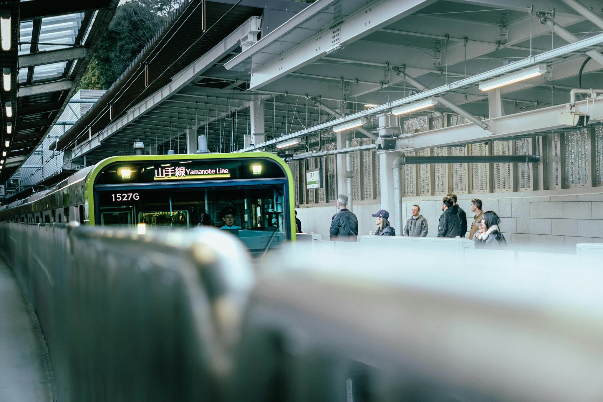
Shinjuku's JR to Toei Oedo Line: 10+ minutes through underground shopping streets with crowds and decision points
These aren't hallways. They're underground cities.
Daily Walking Capacity by Traveler Type
Tokyo walking adds hidden load that doesn't show up on your fitness tracker.
| Traveler Type | Daily Capacity | Key Considerations |
|---|---|---|
| Fit solo traveler | 20-25km/day | Exhausting by day 3-4; not sustainable for week-long trips |
| Average tourist (moderate fitness) | 12-15km/day | Requires strategic rest breaks; most hotel-based tourists |
| Families with kids under 10 | 8-10km/day | Frequent stops needed; afternoon energy crashes; overstimulation reduces capacity |
| Seniors or mobility concerns | 6-8km/day | Prioritize elevator-accessible stations (Ginza Line yes, Hibiya Line often no); station stairs = 4 flights of climbing |
If pacing and energy management is a priority for your group, private tours handle route optimization and rest breaks naturally. Tours for seniors account for these factors in route design.
These ranges account for cumulative fatigue over multi-day trips. Jet lag reduces capacity 30% for the first two days.
The Hidden Walking: Inside Stations
Major station transfers equal outdoor walks in distance and time.
| Station | Transfer/Route | Walking Time | Key Challenge |
|---|---|---|---|
| Shinjuku | JR to Toei Oedo Line | 10+ min | Underground shopping district with crowds and navigation decisions |
| Tokyo Station | Marunouchi to Yaesu side | 8 min | Multiple levels; two faces serving different districts |
| Shibuya | Wrong exit choice | +5-10 min | Sprawls under multiple buildings; exit choice critical |
| Otemachi | Between 5 subway lines | 6-8 min | Major transfer hub with multiple levels |
The Marunouchi district between Tokyo Station and the Imperial Palace is one of Tokyo's most walkable business zones—tree-lined Nakadori Avenue goes pedestrian-only midday, and underground passages connect buildings in any weather.
Visitors don't count station time as "walking," then wonder why they hit exhaustion earlier than expected.
Seasonal and Time-of-Day Adjustments
Tokyo's climate and crowd patterns change what's walkable.
| Season/Time | Conditions | Walking Impact | Best Strategy |
|---|---|---|---|
| Summer (July-Aug) | 76-82% humidity, 28-35°C | Capacity drops significantly | Walk before 10am or after 6pm; midday = exhaustion risk |
| Winter (Dec-Feb) | Cold but dry | Excellent walking weather | Sunset by 4:30pm limits evening walks |
| Cherry blossoms (late Mar-early Apr) | Ueno Park, Sumida River packed | Shuffle-pace crowds | Navigating crowds becomes primary challenge |
| Rainy season (June) | Frequent afternoon rain | Umbrella crowds slow pace | Covered shopping arcades more valuable |
| Rush hour (7:30-9:30am, 5:30-7:30pm) | Station queues, backed-up exits | All routes with station transfers affected | Avoid station-heavy routes during these windows |
Common Walking Mistakes Tourists Make
Most navigation errors follow predictable patterns.
| Mistake | Example | Reality Check |
|---|---|---|
| Trusting map times without adjustment | Shibuya to Meiji Shrine: Google says 22 min | 35+ min with station exits, crowds, signals |
| Walking during midday summer heat | June-Aug midday walking | Take 11am-4pm as transit-only window—exhaustion risk |
| Overestimating kids' capacity | 5km/day at home | Only 3-4km in Tokyo; overstimulation and heat drain faster |
| Not counting station transfers | Forgetting 10 min in Shinjuku counts | Leads to earlier exhaustion than expected |
| Assuming flat equals easy | "Tokyo is flat" | Roppongi is on a hill; Yotsuya has elevation changes |
These mistakes aren't failures—they're predictable when you don't know Tokyo's specific rhythms. A guide who lives here prevents these through local knowledge rather than map-reading. Tokyo's navigation mistakes extend beyond walking to transit choices.
Neighborhoods Built for Walking vs Not
Tokyo's design varies dramatically by district.
Built for walking:
| Neighborhood | Character | Exploration Time | Why It Works |
|---|---|---|---|
| Shimokitazawa | Narrow lanes, no through-traffic, high shop/cafe density | 30-45 min | Pedestrian-scale streets, always something nearby |
| Yanaka | Traditional low-rise, temples, small streets | 45-60 min loop from Nippori | Quiet, walkable, organic layout |
| Nakameguro | Riverside walk, tree-lined, boutiques | 25 min (Nakameguro to Daikanyama) | Compact, pleasant, linear route |
| Harajuku/Omotesando | Pedestrian-priority, window shopping | 30 min (station to station) | Always something to look at; feels shorter than it is |
These areas work because streets are narrow, density is high, and car traffic is minimal or nonexistent. Understanding Tokyo's neighborhood character helps identify which areas reward walking. Linking multiple walkable areas efficiently requires knowing which transit connections don't eat up your day.
Not built for walking (transit-dependent):
| Neighborhood | Problem | Walking Experience | Better Option |
|---|---|---|---|
| Roppongi | Isolated on hill, spread out | 15 min through unremarkable streets (Hills to Midtown) | Always take transit |
| Shinagawa/Osaki | Business district, car-designed | Wide streets, no pedestrian charm | Transit to specific destinations |
| Odaiba | Massive waterfront scale | 15-20 min between attractions through parking lots | Yurikamome Line |
| Ikebukuro | Massive chaotic station area | Unremarkable surrounding streets | Transit to specific destinations |
The difference isn't just aesthetics—it's infrastructure logic. Some neighborhoods emerged organically around walking. Others were designed around cars and trains.
This guide is published by Hinomaru One, a Tokyo-based private tour operator.